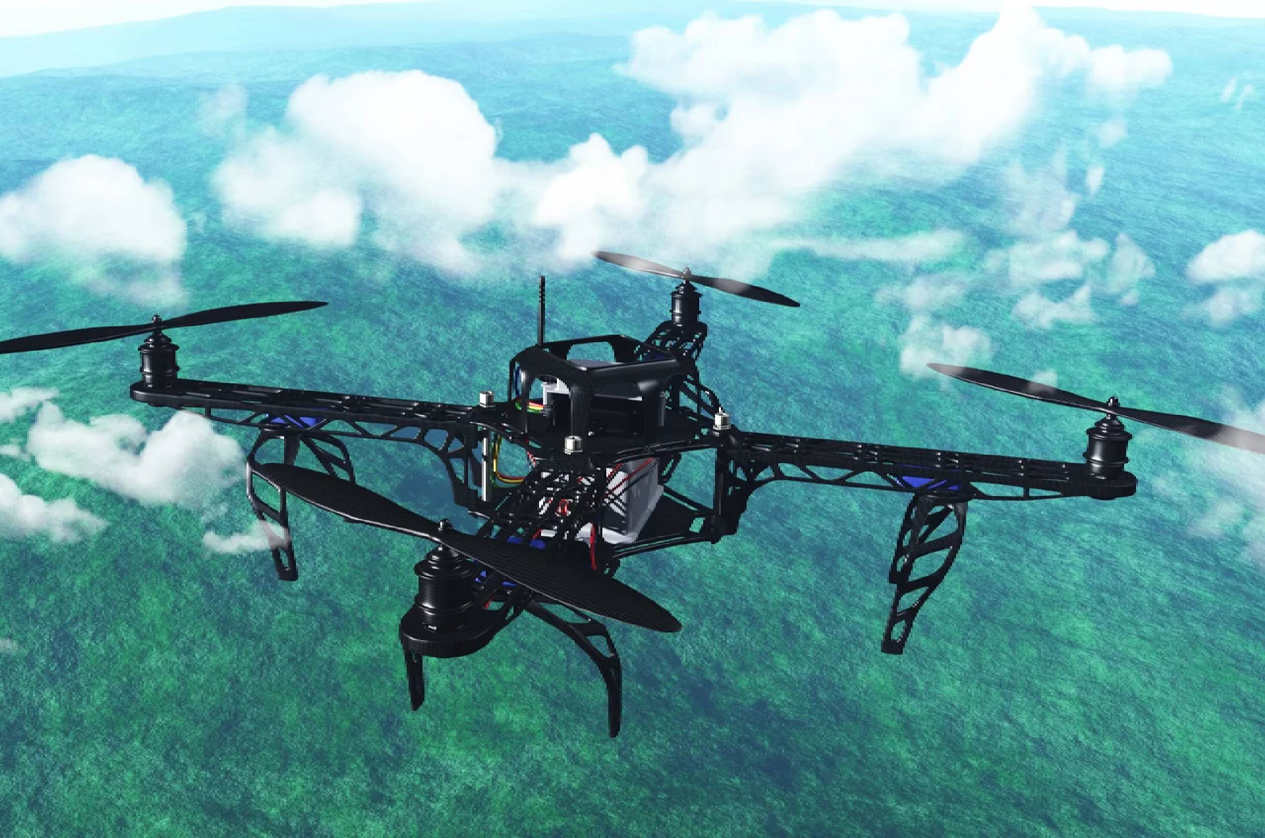
From delivering packages to capturing stunning landscape photography, drones have come a long way in recent years. But perhaps their most transformative application is unfolding high above our forests—where unmanned aerial vehicles (UAVs) are rewriting the future of conservation and reforestation.
At EcoSphere Research Center, we’ve been exploring the use of drones in aerial reforestation, biodiversity mapping, and post-disturbance recovery. What we’re seeing isn’t just a tech upgrade—it’s a paradigm shift.
Planting from the Sky
Traditional reforestation methods are often labor-intensive, time-consuming, and difficult to deploy in remote or rugged terrain. Enter aerial reforestation: drones equipped with seed pods that can be released over vast landscapes in a fraction of the time.
The new generation of drones doesn’t just scatter seeds randomly—they’re GPS-guided and terrain-aware, allowing for targeted planting based on soil conditions, topography, and microclimates. Some seed pods even include nutrients or protective casings to increase germination success.
In trials across degraded zones in the Pacific Northwest and Southeast Asia, drone-assisted replanting achieved 60% faster coverage than manual methods—with higher survival rates for native species.
Eyes in the Sky for Ecosystem Health
But drones do more than plant—they monitor. Using multi-spectral imaging, drones can scan forest canopies for:
- Tree health indicators (chlorophyll content, leaf moisture)
- Signs of disease or pest outbreaks
- Invasive species encroachment
- Carbon sequestration estimates
In just one flight, researchers can capture gigabytes of ecological data—creating 3D forest models, mapping biodiversity corridors, and tracking regeneration after wildfires or logging events.
This level of real-time, high-resolution insight was almost unimaginable a decade ago. Now, it’s becoming a standard part of our conservation toolkit.
Challenges and Cautions
Of course, no technology is a silver bullet. Aerial reforestation still requires on-the-ground validation to ensure that seeds take root, grow, and integrate into the surrounding ecosystem. Not all landscapes are suitable for drone planting, and over-reliance on technology without local knowledge can backfire.
Moreover, there are ethical and ecological considerations—such as respecting Indigenous land rights, avoiding monoculture planting, and ensuring that drone use doesn’t disturb wildlife.
That’s why our approach at EcoSphere always integrates community consultation, ecological assessment, and post-deployment monitoring alongside drone missions.
A Complement, Not a Replacement
In the end, drones are not replacing forest rangers, botanists, or community forest stewards. They’re enhancing their work—making it faster, safer, and more informed.By bridging tech innovation with ecological expertise, drones offer a powerful tool in the race against deforestation and climate change. The sky, quite literally, is no longer the limit.